SJU Aerial Photos & Campus Maps
See also A History of CSB Buildings for a set of maps showing the changes over time.
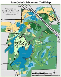
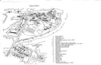
Saint John’s Arboretum Trail Map
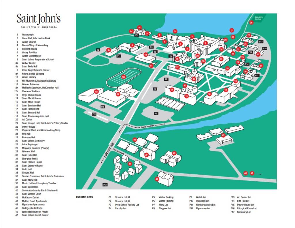
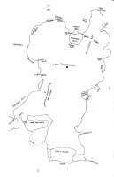
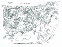
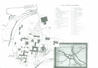
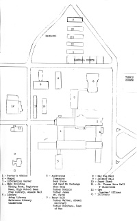
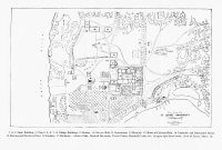
Campus Map,top = South
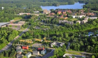
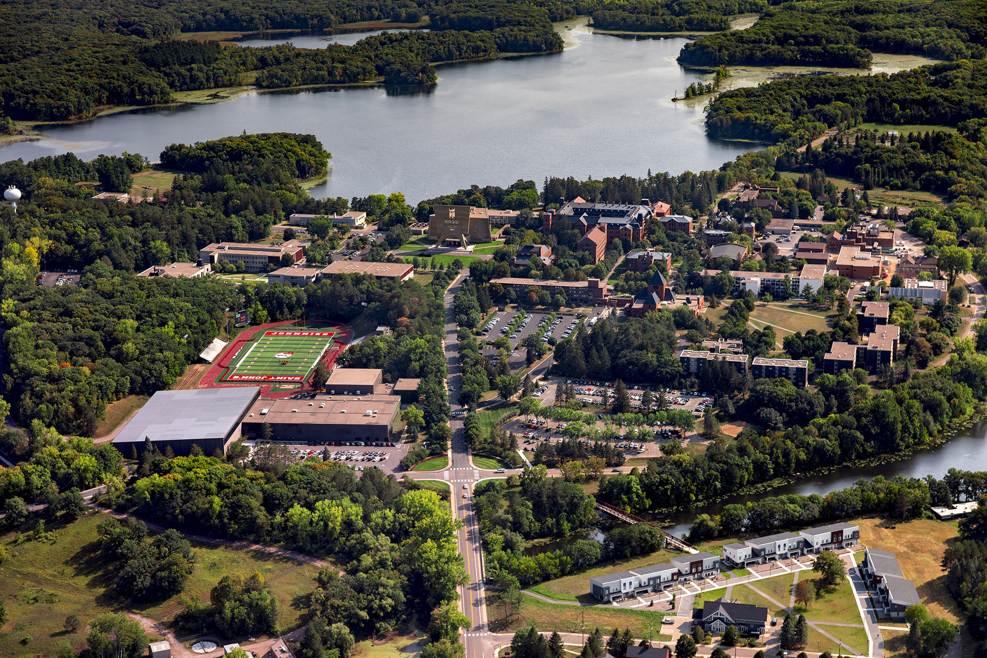
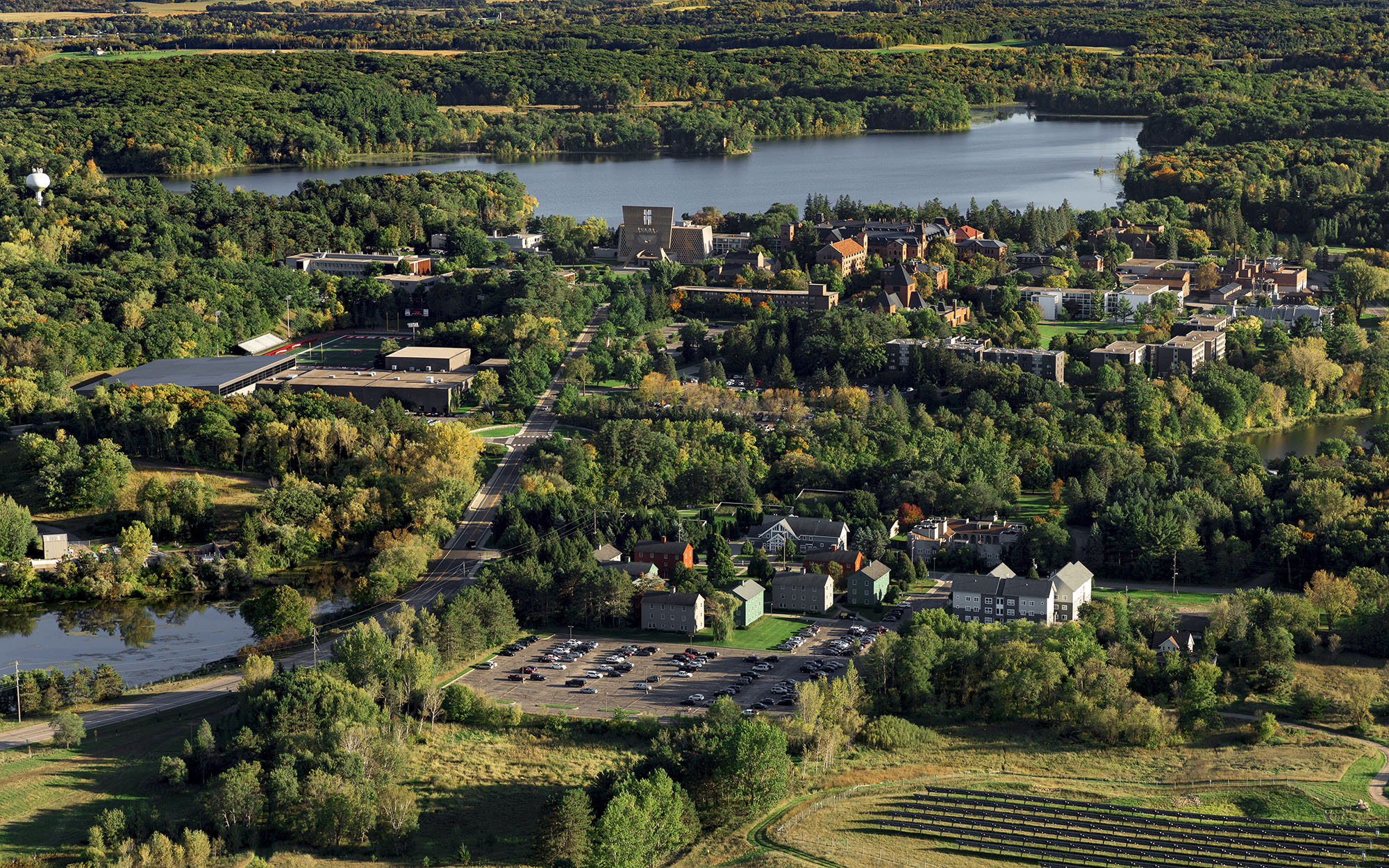
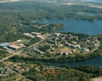
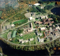
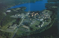
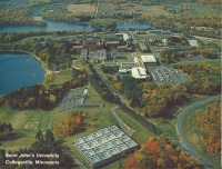
looking SE,
photo by Mike Becker
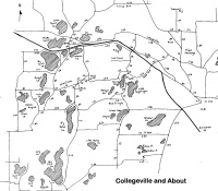
Mileages area map
(Note: Roads have nicknames)

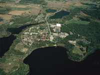
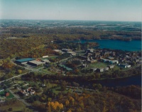
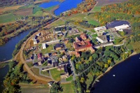
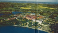
looking SE
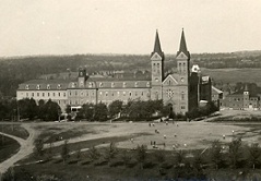
looking North, from Sagatagan
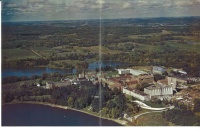
looking SE
looking SE

looking, SE
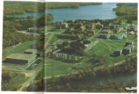
from an SJU alum magazine
looking SE
looking East
looking West,
from Escape magazine
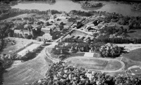
looking SE
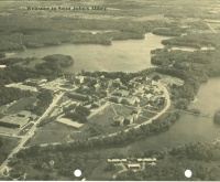
looking SE, from a circa 1978 brochure in SJU Archives Box 1326:3

top=North, from a circa 1978 brochure in SJU Archives Box 1326:3

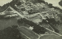
looking West
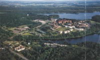
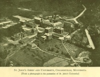
looking SE, from A Report to Investors Saint John’s University
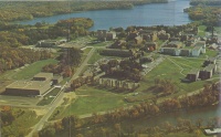
looking West

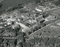
looking SE
looking North
looking NW
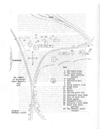
looking NW, from SJU Archives Box 2020:5

looking NW
looking NW

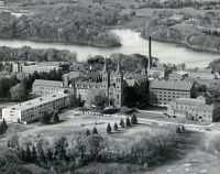
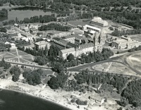
looking NE, from the 1953 Sagatagan Yearbook, p.2-3
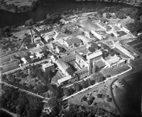
looking NE, from the Sept. 26, 1952 issue of The Record p. 2
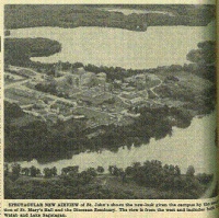
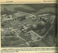
looking SE, from the Sept. 26, 2952 issue of The Record, p. 4
looking SW, from the 1952 Alumni Directory


from Monte Cassino, Metten, and Minnesota – on the European roots of St. John’s by August C. Krey.

Looking West
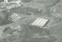
Taken from atop old water tower

Looking SW

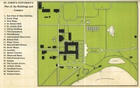
Conceptual map
Right=North by Ronald Roloff, OSB?
Right=North by Alexius Hoffmann, OSB